Notice: Function _load_textdomain_just_in_time was called incorrectly. Translation loading for the acf domain was triggered too early. This is usually an indicator for some code in the plugin or theme running too early. Translations should be loaded at the init action or later. Please see Debugging in WordPress for more information. (This message was added in version 6.7.0.) in /home2/tthrgsco/public_html/wp-includes/functions.php on line 6121
Featured Technology - T3 Global Strategies
T3 Global Strategies
Menu
  • Why T3
  • About
  • What We Do
    • Overview
    • Geospatial Services
    • Engineering Services
    • Survey Services
    • Geographic Information Systems
  • Technology
    • Staying Ahead of the Curve
    • Featured Technology
  • Who We Serve
  • Contact
  • Why T3
  • About
  • What We Do
    • Overview
    • Geospatial Services
    • Engineering Services
    • Survey Services
    • Geographic Information Systems
  • Technology
    • Staying Ahead of the Curve
    • Featured Technology
  • Who We Serve
  • Contact
Technology

UAV Lidar


For more than two decades, T3 Global Strategies has been committed to offering our clients creative and innovative solutions to solve their most pressing business problems. And it is with that commitment in mind, that we are excited to expand our Unmanned Aerial Vehicle (UAV) Mapping Program to include a robust UAV Lidar solution.

With Certified Photogrammetrist and Licensed Surveyors on staff, T3 is not just another “drone mapping company”. We have established a reputation for the delivery of quality mapping and surveying services built on a foundation of proven photogrammetric and surveying principles. And our approach to UAV Lidar is no exception.

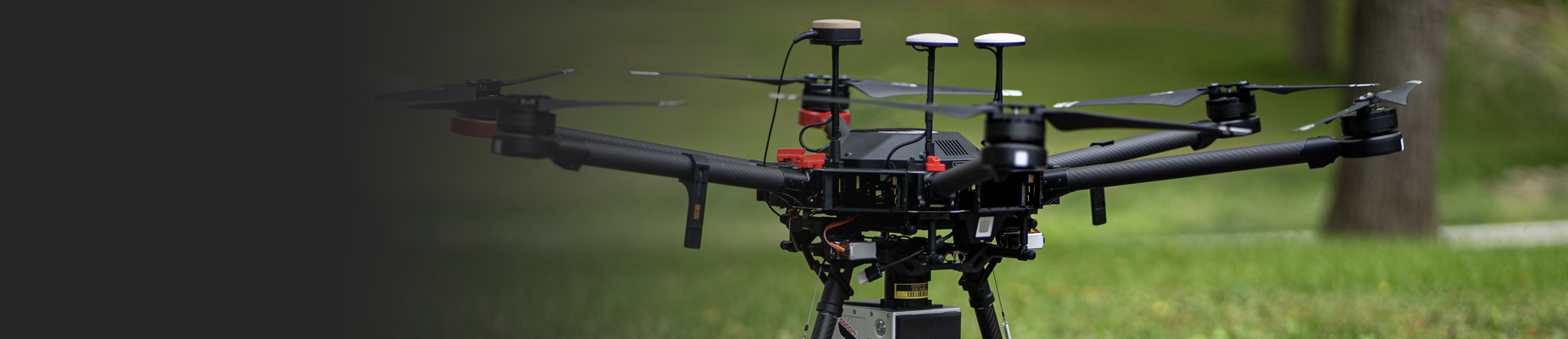
T3’s UAV Lidar solution delivers superior quality mapping products to support a variety of applications including residential and commercial land development, inventory mapping, transportation design, pipeline design, forestry applications, monitoring, and more. The lidar technology also allows us to penetrate leaf canopy, extending flying windows and see where image-based solutions cant.

T3’s UAV Lidar Solution Offers

  • Superior vertical and horizontal accuracies (+- 1.5cm horizontal and vertical sensor accuracy)
  • Expanded flying windows with exceptional penetration of the leaf canopy
  • Up to 150 points per square meter
  • Capture high-resolution imagery simultaneously
  • A true photogrammetric workflow
  • Terrain generation and feature extraction in a 3D stereo capture environment

Flying your own UAV Lidar? Rely on T3 to fully calibrate, classify and extract your lidar data!

  • Staying Ahead of the Curve
  • Featured Technology
  • Staying Ahead of the Curve
  • Featured Technology

T3 Global Strategies

100 Villani Drive
Bridgeville, PA 15017 USA

Phone:

412-221-2003

Connect With Us:

  • LinkedIn

Proud Member Of:

Copyright © 2025 T3 Global Strategies. All rights reserved.

Website by Imagebox

(function(i,s,o,g,r,a,m){i['GoogleAnalyticsObject']=r;i[r]=i[r]||function(){ (i[r].q=i[r].q||[]).push(arguments)},i[r].l=1*new Date();a=s.createElement(o), m=s.getElementsByTagName(o)[0];a.async=1;a.src=g;m.parentNode.insertBefore(a,m) })(window,document,'script','https://www.google-analytics.com/analytics.js','ga'); ga('create', 'UA-18084421-1', 'auto'); ga('send', 'pageview');